PART I
Gravity, if left alone, will eventually flatten the entire planet. Everything -water, dirt, rock, ice and the remains of living things- it all seeks its own level. It’s also what happens with lakes, it’s what they do, they fill up with earth. Given enough time, sediment from the surrounding countryside of a lake, and from whatever tributaries flow into it, will make its way into a lakebed and voila; lake gone, earth abides. The process takes millennium, deep water becomes shallow, shallow water becomes a bog, bog to swamp, swamp to solid land; depending on rainfall, natural phenomenon (like forest fires), and lake depth.
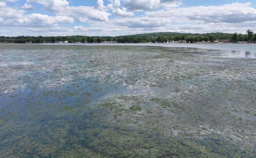
Unless man gets in the way. And then those millennium can turn into centuries, centuries to decades, decades to years, and before you know it, you have the lower basin of Chautauqua Lake; a weed choked, sediment-filled lakebed, shallowing every year, turning into marshland.
It can happen that fast, in less than a generation, right before your eyes.
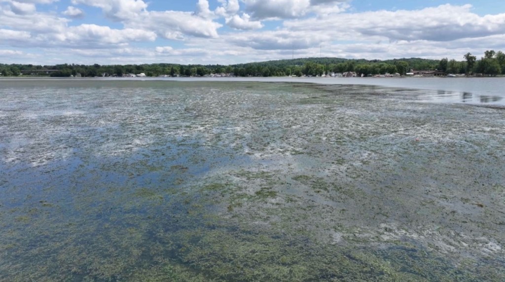
Southern Basin of Chautauqua Lake
Geological History of Chautauqua Lake
First there was a sea.
Chautauqua County was under water before it was above water. This was some 370 million years ago, but still. It was part of the Catskill Sea, an ancient body of water considered shallow for the era, and tropical, with marine life including large crustaceans.
Then came the Karoo ice age of the late Paleozoic era, and that sea froze. When the inevitable thaw started, during an era called the Quaternary Period, and the last continental ice sheet retreated, about 10,000–12,000 years ago, the Chautauqua Lake basins were carved out of the earth.
Glaciers move, constantly. They are “rivers of ice” that flow downhill with gravity, deforming internally and sometimes sliding at the base like a conveyor belt. Sometimes they move against gravity and they “recede”; the front edge melts as the back (the uphill side) gains snow. The glacier is still moving forward, but melting even faster, so the net effect is retreat.
During the retreat in the Quaternary Period, the glacier that covered western New York paused multiple times, each pause leaving behind soil deposits, pushing earth up and away. The glacier first paused at Jamestown, depositing a mound of soil. The underlying solid rock formed a natural dam, establishing the southern basin of the lake. When the glacier retreated further, the basin filled, and overflowing water created the Chadakoin River outlet, a shallow reservoir because it cannot cut through the bedrock that makes up its base.
The glacier paused again at Bemus Point, depositing more soil. A third stop occurred at Mayville. These later pauses resulted in the narrows, then the upper basin of Chautauqua, each with slightly different properties due to the characteristics of the retreating glacier. The three distinct “pauses” lasted anywhere from a hundred to three hundred years as the atmosphere warmed.
The south basin being shallow and slow‑flushing, and 10,000 or so years old, makes it a natural sediment trap and a plant‑friendly environment. Sediment up-lake and from the surrounding tributaries works its way to the southern basin, and it fills up.
These natural processes explain why the south basin is vulnerable; it does not explain why it is collapsing so quickly.
The United States Army Corps of Engineers frames Chautauqua Lake’s current condition as a “human‑accelerated degradation cycle”, not a natural one. The crisis level within the lake, where it is becoming unusable for recreational purposes, has been made by man. It’s our own fault. The basin would gradually get shallower over thousands of years on its own, but modern land use, stormwater patterns, invasive species, and altered hydrology have sped that natural trajectory up by an order of magnitude. Those millennium have suddenly become years.
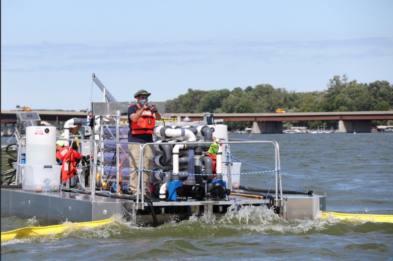
US ARMY Corps of Engineers on Chautauqua Lake
NEXT: How We Got Here Part II

 Bill Burk's collective writing...and some other stuff.